Utah Cliffs Loop GPX Data

In stock
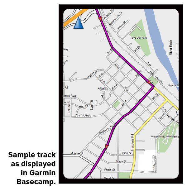
Please note, GPX Data is not refundable! Please examine the sample data on the device of your choice before purchasing GPX data packages. More information about GPX Data files can be found here.
After your GPX purchase, you can get GPX updates for free by re-downloading them from your My Adventure Cycling account.
From St. George heading clockwise, the Utah Cliffs Loop Bicycle Route goes north to Snow Canyon State Park and then heads for historic Pine Valley, nestled in a bucolic basin in the Pine Valley Mountains. From Cedar City you will climb through the Hurricane Cliffs escarpment, high onto the Markagunt Plateau of the Dixie National Forest. At Navajo Lake, still at high elevation, you begin an unforgettable downhill run that starts out alongside the North Fork of the Virgin River - really just a creek at first - and ultimately meet SR 9 just east of Zion National Park. From Rockville, a series of backroads lead to Hurricane and finally back to St. George. Elevations on the route range from 2,500' to 10,000' above sea level. Road surfaces on the Utah Cliffs Route are approximately fifty percent dirt and gravel roads and fifty percent paved roads.
More information about this route is available here.
GPX Data Resources
- GPX Data Agreement
- Support Pages for Digital Route Data products
- Map Updates and Corrections (Addenda) - Always be sure to check for map updates and corrections before leaving on your trip.
- Temporary Road Closure Information
- Frequently Asked Questions
* These products are delivered in compressed zip files. Instructions on extracting the data are located here.
**NOTE: Occasionally, the GPX data you purchase will be newer than the paper map currently being sold. They may still be used together. See the Tracks and Service Points FAQs for more information.**


Reviews
There are no reviews yet.