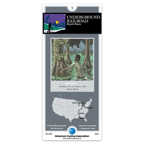
Underground Railroad Section 1
12 in stock
Due to limited resources, the paper map version of this route section has been discontinued and will no longer be available once sold out. This route section is still available digitally. More info here: Going Digital: App or GPX.
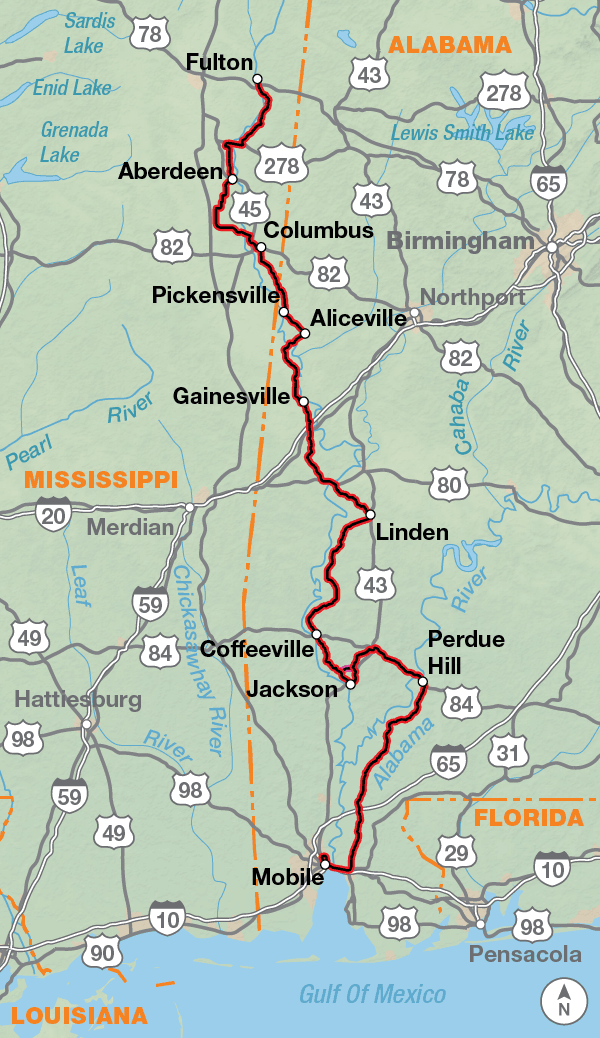
The southernmost map of this route begins in Mobile, Alabama, and follows several rivers north to Fulton, Mississippi. In the 1800s Mobile was a key port for ships to unload enslaved Africans. The Tensaw, Alabama, and Tombigbee rivers all flow into Mobile Bay, and were used as guides for freedom seekers to escape northward. Besides the lush green scenery and the many small towns Section 1 passes through, a host of museums, historic parks, and visitor centers bring the region's history alive.
Map Resources
- Map Features
- Map Updates and Corrections (Addenda) - Always be sure to check for map updates and corrections before leaving on your trip.
- Temporary Road Closure Information
- Frequently Asked Questions
Reviews
There are no reviews yet.