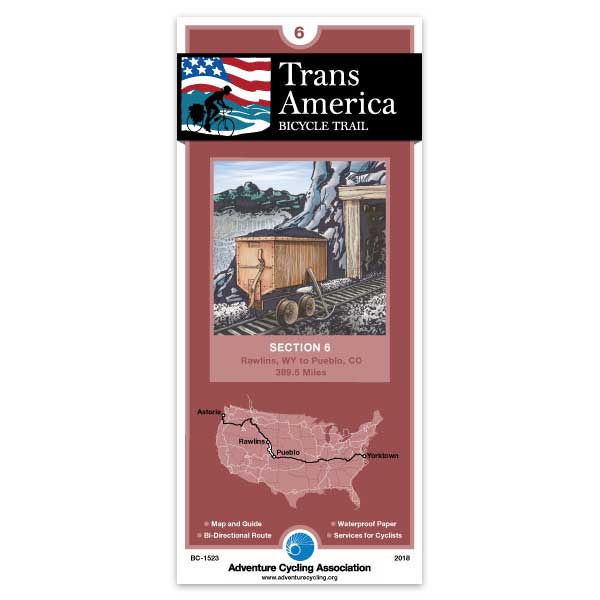
TransAmerica Section 6
811 in stock
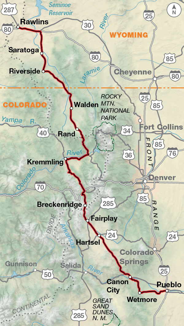
Section 6 of the TransAmerica Trail follows a 15-mile section of I-80 between Sinclair and Walcott, and then turns south. The interstate has heavy traffic, but cyclists can ride the wide shoulder. The rolling basin called North Park contains the headwaters of the North Platte River and from this point southward to Canon City, riders traverse high-altitude country. Due to this altitude, some cyclists may experience headaches, insomnia, or shortness of breath, but most have approached this area gradually, riding from lower elevations, thus acclimatizing their bodies. As the trail approaches the Summit County area, traffic increases. Recreational facilities here attract many weekenders and vacationers from the more densely populated eastern slope of the Rockies. Around Frisco and Breckenridge, the route intersects with the Great Parks South Route and the Great Divide Mountain Bike Route. After Breckenridge, the South Park section begins with a moderately difficult climb over Hoosier Pass. Riders gain 1,500' within 10 miles in order to reach the top of the pass (elevation 11,542'), the highest point on the TransAmerica Trail. At Canon City the countryside gradually shows less and less relief, as the Trail emerges from the Rockies and winds through the Colorado Piedmont. This section ends in Pueblo, also the endpoint for the Western Express Route.
Map Resources
- Map Features
- Map Updates and Corrections (Addenda) - Always be sure to check for map updates and corrections before leaving on your trip.
- Temporary Road Closure Information
- Frequently Asked Questions
Reviews
There are no reviews yet.