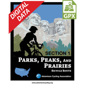
Parks, Peaks, and Prairies Map Set GPX Data


Please note, GPX Data is not refundable! Please examine the sample data on the device of your choice before purchasing GPX data packages. More information about GPX Data files can be found here.
After your GPX purchase, you can get GPX updates for free by re-downloading them from your My Adventure Cycling account.
The Parks, Peaks, and Prairies Route begins in West Yellowstone, Montana, and heads eastward through several national parks and monuments: Yellowstone, Devils Tower, Mt. Rushmore, and the Badlands. It ends in Minneapolis, Minnesota, where spurs will connect to the North Lakes and Northern Tier routes.
More information about this route is available here.
GPX Data Resources
- GPX Data Agreement
- Support Pages for Digital Route Data products
- Map Updates and Corrections (Addenda) - Always be sure to check for map updates and corrections before leaving on your trip.
- Temporary Road Closure Information
- Frequently Asked Questions
* These products are delivered in compressed zip files. Instructions on extracting the data are located here.
**NOTE: Occasionally, the GPX data you purchase will be newer than the paper map currently being sold. They may still be used together. See the Tracks and Service Points FAQs for more information.**


Reviews
There are no reviews yet.