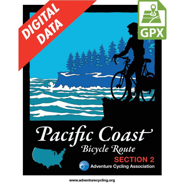
Pacific Coast Route Section 2 GPX Data
Product CodeBD-1612
Brand: Adventure Cycling Association
Price$10.99
In stock
These GPX Data products cannot be used with the Bicycle Route Navigator App! Unless you plan to use a standalone GPS device, we highly recommend purchasing route sections WITHIN the Bicycle Route Navigator app.
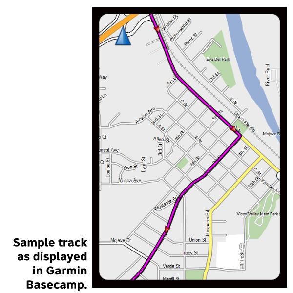
Please note, GPX Data is not refundable! Please examine the sample data on the device of your choice before purchasing GPX data packages. More information about GPX Data files can be found here.
After your GPX purchase, you can get GPX updates for free by re-downloading them from your My Adventure Cycling account.
Along the Oregon Coast, the route often uses US 101, a two-lane highway popular with tourists. During the summer months and on holidays and weekends this highway carries moderate to heavy traffic. This is also timber country, so watch for logging trucks. Many improvements for bicycle traffic have been made along US 101. In places the shoulders have been widened and striped. Tunnels are well-lit, and the tunnel at Arch Cape has a flashing light that you can activate to warn motorists that you are in the tunnel. Also watch for special hiker/biker sites in the state park campgrounds. Where the route leaves US 101, the roads are generally rougher and without shoulders, but traffic tends to be light. There are some steep ascents over coastal headlands, notable between Cannon Beach and Manzanita. Traffic is heavier near and in Lincoln City, and thins again on the gentle grades around Newport and Waldport. Many of the coastal towns cater to tourists, and you'll find the views along the coast breathtaking. West of Sixes is Cape Blanco State Park, which calls itself the "most westerly Park in the continental U.S." Once you enter California, the route leaves US 101 and takes rural side roads along the level coastal plain into Crescent City.
More information about this route is available here.
GPX Data Resources
- GPX Data Agreement
- Support Pages for Digital Route Data products
- Map Updates and Corrections (Addenda) - Always be sure to check for map updates and corrections before leaving on your trip.
- Temporary Road Closure Information
- Frequently Asked Questions
* These products are delivered in compressed zip files. Instructions on extracting the data are located here.
**NOTE: Occasionally, the GPX data you purchase will be newer than the paper map currently being sold. They may still be used together. See the Tracks and Service Points FAQs for more information.**
Reviews
There are no reviews yet.