Northern Tier Section 11 GPX Data
In stock
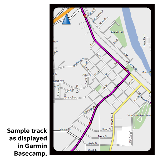
Please note, GPX Data is not refundable! Please examine the sample data on the device of your choice before purchasing GPX data packages. More information about GPX Data files can be found here.
After your GPX purchase, you can get GPX updates for free by re-downloading them from your My Adventure Cycling account.
This section passes through three states, each with somewhat different riding conditions, but the roads generally are fair. Vermont and New Hampshire are "mountainous" by eastern standards. General elevation ranges from about 500 to 2,000 feet. Vermont highways are, with a few exceptions, well-signed. East of Middlebury, Vermont, you have to pedal over a steep "gap" or mountain pass. After you reach the White Mountains and enter Maine, the elevation is generally less than 500 feet but the terrain is still quite hilly. Near the coast the route follows narrow back roads. However, in places you ride U.S. 1 which carries very heavy recreational traffic. Mount Desert Island roads also have a high amount of tourist traffic as you near Bar Harbor during the summer and fall color season.
More information about this route is available here.
GPX Data Resources
- GPX Data Agreement
- Support Pages for Digital Route Data products
- Map Updates and Corrections (Addenda) - Always be sure to check for map updates and corrections before leaving on your trip.
- Temporary Road Closure Information
- Frequently Asked Questions
* These products are delivered in compressed zip files. Instructions on extracting the data are located here.
**NOTE: Occasionally, the GPX data you purchase will be newer than the paper map currently being sold. They may still be used together. See the Tracks and Service Points FAQs for more information.**


Reviews
There are no reviews yet.