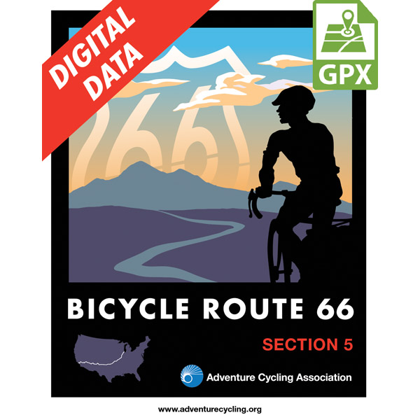
Bicycle Route 66 Section 5 GPX Data
In stock
Please note, GPX Data is not refundable! Please examine the sample data on the device of your choice before purchasing GPX data packages. More information about GPX Data files can be found here.
After your GPX purchase, you can get GPX updates for free by re-downloading them from your My Adventure Cycling account.
Between Gallup, New Mexico and Oatman, Arizona the country is open and semiarid; there are generally long distances between services provided by the few trading posts along I-40. Traffic on I-40 is fast and can be heavy due to it being a major east/west truck route. Shoulders are generally wide with well-placed rumble strips, but conditions may vary. Between Gallup and Chambers the route crosses the Navajo Nation and is subject to the rules and regulations of both the U.S. and the nation. The Petrified Forest National Park offers a welcome diversion from riding the shoulder of I-40. The elevation and traffic increase between Winona and Flagstaff. Expect more traffic and urban riding through Flagstaff. Towns increase in frequency beyond Flagstaff. From the I-40 crossing to Oatman there is gradual climbing across the basin for approximately 15 miles. It is followed by 9 miles of steep, narrow ascents around switchbacks to the expansive Sitgreaves Pass before winding downhill into Oatman. In Oatman you can enjoy a trip back to the Old West but don’t feed the wild burros — they‘ve been known to follow and harass bicyclists.
More information about this route is available here.
GPX Data Resources
- GPX Data Agreement
- Support Pages for Digital Route Data products
- Map Updates and Corrections (Addenda) - Always be sure to check for map updates and corrections before leaving on your trip.
- Temporary Road Closure Information
- Frequently Asked Questions
* These products are delivered in compressed zip files. Instructions on extracting the data are located here.
**NOTE: Occasionally, the GPX data you purchase will be newer than the paper map currently being sold. They may still be used together. See the Tracks and Service Points FAQs for more information.**


Reviews
There are no reviews yet.