Adirondack Park Loop GPX Data
In stock
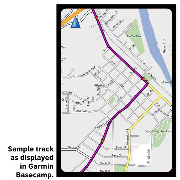
Please note, GPX Data is not refundable! Please examine the sample data on the device of your choice before purchasing GPX data packages. More information about GPX Data files can be found here.
After your GPX purchase, you can get GPX updates for free by re-downloading them from your My Adventure Cycling account.
When ridden in a counter-clockwise direction, the Adirondack Park Loop travels from Schenectady north, crossing into Adirondack Park just north of Saratoga Springs. Adirondack Park is the largest publicly protected area in the lower forty-eight states, greater in size than Yellowstone, Everglades, Glacier and Grand Canyon National Park combined. Passing through Ticonderoga, the route hugs the western shore of Lake Champlain as it continues north. At Port Henry there is an optional spur to continue north to Port Kent, to connect to a ferry to Burlington, Vermont. The main route continues west through Lake Placid, home of the 1932 and 1980 Winter Olympic Games. The route can be somewhat hilly in the park, with climbs ranging up to 1,500 feet. The route uses lightly traveled roads with minimal shoulders. Paved shoulders prevail where traffic is moderate.
More information about this route is available here.
GPX Data Resources
- GPX Data Agreement
- Support Pages for Digital Route Data products
- Map Updates and Corrections (Addenda) - Always be sure to check for map updates and corrections before leaving on your trip.
- Temporary Road Closure Information
- Frequently Asked Questions
* These products are delivered in compressed zip files. Instructions on extracting the data are located here.
**NOTE: Occasionally, the GPX data you purchase will be newer than the paper map currently being sold. They may still be used together. See the Tracks and Service Points FAQs for more information.**


Reviews
There are no reviews yet.