Tips on Planning Your Big Bike Tour
In 2013, I wrote about some tools for creating your own route. While the nuts and bolts of that post are still valid, I can now add the perspective of one who has planned a cross-country journey. Here’s how I planned my 2017 cross-country journey.
First, I wanted to begin in the east and ride west towards “home,” ending in Seattle, Washington.
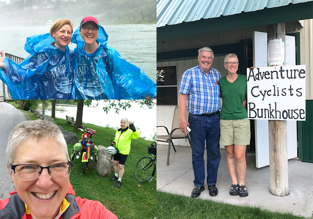
Then, I made a list of the “must see” and “must dos” I had thought about over the years. My list included people and places like Donn Olson and the Cyclists Bunkhouse in Dalbo, Minnesota, taking the S.S. Badger Ferry across Lake Michigan, witnessing Niagara Falls, seeing friends in Burlington, Vermont, riding the Erie Canalway Trail, and eventually meeting up with fellow travelers and friends in Minnesota.
In connecting these dots, I could see many of these desires were built-in destinations on the Northern Tier, North Lakes, or Lake Erie Connector with dashes of the Green Mountains Loop and Adirondack Park Loop routes thrown in.

Filling in the gaps
As I dialed in the planning process, I saw I had gaps to fill. How was I going to get to Burlington from the Northern Tier? And where should I veer off to catch the Erie Canalway Trail? I found state bicycle maps. I looked at U.S. Bicycle Routes as connectors. I plugged destinations into RideWithGPS.com. I studied the various options.
For the most part, this worked out very well with a couple of exceptions. The first came on Day Two when I learned to have a bit more caution on routes I created via RideWithGPS or Google Maps. What is my take away from this? Use the satellite imagery when planning!
My rookie error in not using that satellite resource led to me standing in the middle of a neighborhood wondering where the road went. I wasn’t the first rookie to make this error though, and I was saved by an observant man mowing his lawn who took pity on my distraught look. He pointed to the “trail” that would get me from his cul-de-sac back on my way.
The second is a bit trickier to avoid even with satellite imagery. Due to meeting friends in Minnesota on a specific date and location, I needed a quicker route across Wisconsin than the North Lakes route offered. I pored over the Wisconsin county bicycle maps online to find the straightest line route with services.
To keep myself off the highway, I sometimes chose the unpaved road option. I was sporting two-inch touring tires — I could do some gravel, right? Not rural Wisconsin gravel. This was the thickest gravel I had ever encountered while riding. After flagging down a farmer to confirm my suspicions that the rest of my routing would be similar, I took his advice, headed back to the highway, and breathed a huge sigh of relief.
Where to stay? Where to eat?
As I laid out potential routes, I kept in mind the need for food and shelter at regular intervals. Adventure Cycling’s bicycle route maps are pretty handy in that they show this information, and one doesn’t have to poke around or worry overly much. Going rogue, off route, requires a bit more poking, and eventually, faith. I tweaked the routes to end at what looked like decent destinations with services at mileages I could handle. Thank you, Internet!
Though I ended up staying at many of the locations I chose in advance, a long string of very wet and windy weather systems early on wreaked havoc with my planning. With the assistance of a couple of trail angels, I eventually made it back on course. On the plus side, sometimes not knowing in advance exactly where I was going to end up led me to some really wonderful Warmshowers hosts. These folks are often a source of route information, too, so you may want to ask their advice.

In summary
The main thing to keep in mind while planning is that no matter how much you do at home things will come up on the road that require flexibility. My main regret is I didn’t build in much downtime, and I highly advise you to avoid my error. The worst that can happen is you’ll have a little extra time to sleep, eat, write, play, and enjoy your journey.
This article has been updated and was originally published in November 2017.


