How You Ride the Great American Rail-Trail
Picture this: You hop on your bike in Washington, D.C. and start pedaling on a series of bike paths and peaceful sections of rail-trails. You angle northwest through Pennsylvania and cross Ohio, continuing across the Midwest into Wyoming, Montana, and Idaho until you reach Washington and cycle all the way to the Pacific Ocean. This journey across the U.S. is separated from traffic, utilizing a series of interconnected multi-use trails and allowing you to safely explore the vistas, small towns, and rich history across the country.
Sound nice? That’s the Rails to Trails Conservancy’s (RTC) vision for the Great American Rail-Trail, a massive undertaking more than 50% complete with over 2,050 completed miles already on the ground. New trail segments are added to the route each year, and RTC is working with hundreds of partners across the country to accelerate trail development.
The Great American Rail-Trail is an Iconic Route in the Making
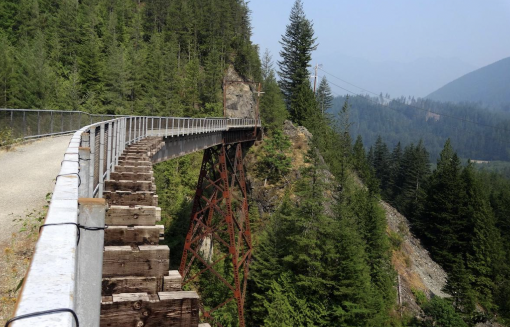
RTC began tracking rail-trail development in the late 1980s. Over time, a non-motorized route across America began to present itself. RTC waited until a pathway through the West was possible and the cross-country route was more than 50% completed before committing to leading its development. After conducting hundreds of meetings to gather input from trail partners, and local and state agencies, RTC announced the project to the public in May 2019.
As it stands, the route traverses 12 states and Washington, D.C., with more than 100 miles of trail in current active development. RTC works with hundreds of trail organizations and partners on local and state levels to help map this route, hitting major cities like Pittsburgh, Pennsylvania, Columbus, Ohio, Seattle, Washington, and Missoula, Montana. Notable trail segments include the Great Allegheny Passage, Great Miami River Trail in Ohio, and the Palouse to Cascades State Park Trail in the state of Washington. Since the trail segments aren’t fully linked, people embarking on this journey currently map their own connections between completed trail portions using a series of roadways.
No matter what section or state you decide to ride, riding between historic towns and major cities on peaceful rail-trails is the adventure of a lifetime. More than 50 million people live within 50 miles of one of these proposed segments, so the opportunity for increased recreation on accessible, non-motorized paths is a benefit for everyone.
Each year has seen major strides in visibility, progress, and cyclists’ time spent on the route. Since the project was announced in 2019, more than $117.5 million in public and private resources have been invested in projects along the Great American Rail-Trail.
Adventure Cycling Partners Up to Create a Detour Route through the Mountain West
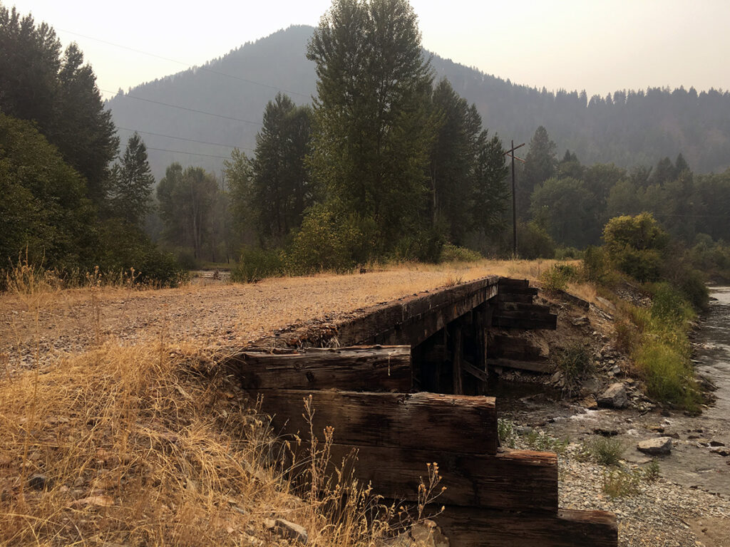
In many parts of the country, people have several options for connecting existing sections, including traveling through towns with services and linking together road segments. Some regions need more connections than others. The Mountain West — particularly between the western end of the Cowboy Recreation and Nature Trail in Chadron, Nebraska and the eastern end of the Route of the Olympian in St. Regis, Montana — provides a unique challenge. This 960-mile section of the route has the fewest existing trail miles, and services can be spread far apart.
To help amend this, RTC came to Adventure Cycling to map a detour route. Since the Great American Rail-Trail is based on the idea that cyclists will be on separated paths away from vehicle traffic, it appeals to a certain audience of cyclists. As some of those cyclists are less comfortable on busier roadways, the detour route creates a temporary solution for those ready to ride it right now.
Adventure Cycling’s experience lies largely in building safe and accessible routes on existing roadways, and their cartographers tapped a few different resources to create the detour route. These included existing Adventure Cycling routes, regional and social network knowledge, and intel from state and local organizations and cycling groups.
“RTC wants to create the safest, most comfortable riding experience for folks. Out here in the West, we have a much looser and more gap-filled set of paths to work from,” says Jenn Hamelman, Director of Routes for Adventure Cycling Association.
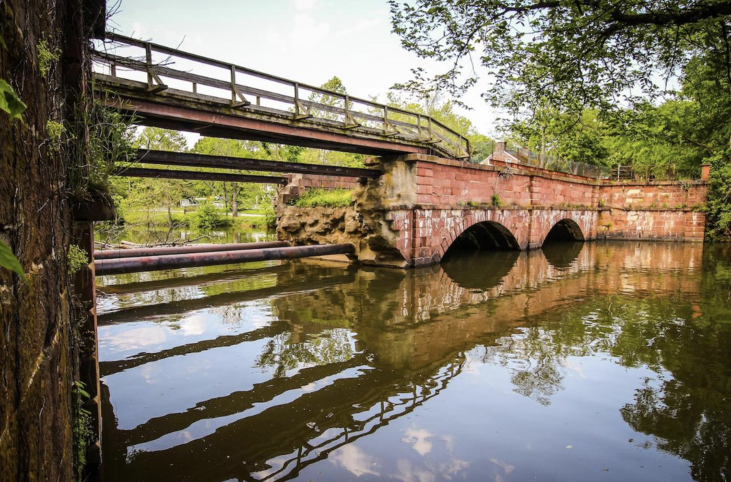
“RTC’s expertise is in rail-trails and separated paths, and our expertise is in trying to find the best solutions via roads,” says Hamelman, “This detour route travels through key communities that will be on the finalized segment, which will give them a preview of what it’s like to have bicycle travelers come through.”
This is the first time Adventure Cycling has collaborated with RTC on any sort of route development, but the Great American Rail-Trail does overlap with several Adventure Cycling routes, including the Great Divide Mountain Bike Route in Butte, Montana, multiple sections of the Lewis & Clark Trail through Montana, and Parks, Peaks, and Prairies through Basin, Wyoming.
Adventure Cycling mapped the route and provided all points of interest, including service information and towns. RTC continues to work with its partners across the country to fill these gaps to ensure that anyone can take a trip on the Great American Rail-Trail through the Mountain West, whether for an afternoon or for an epic-weeks long adventure. Explore the 960-mile detour route and the entire Great American Rail-Trail here.
How Should You Choose What Section to Ride?
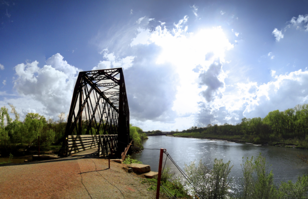
There are plenty of sections to choose from on the Great American Rail-Trail, and the one you pick depends on your starting location, how much time you have to ride, and the amenities you’ll want along the way. Since the route largely follows old railroad lines, it means that many sections offer a new town every 5-20 miles, providing ample opportunities for supplies and amenities.
The states do vary in completion, so keep that in mind when picking your section. The 207 miles of Washington D.C. and Maryland are complete, and nearly all of Pennsylvania is mapped, including the iconic 150-mile Great Allegheny Passage. The 468 miles through Iowa are more than halfway complete, with 255 trail miles and 212 gap miles, and the new detour routes a more comfortable ride in Nebraska, Wyoming, and Montana. You can find the breakdown of each state here, along with more information about trails and plans for development.
“The Great American Rail-Trail offers something for everyone,” says Kevin Belle, Project Manager for Rails to Trails Conservancy. “This includes well-traveled, paved trails in an urban core to remote, unpaved trails that provide some one-on-one time with nature.”
The longest continuous completed section of the Great American Rail-Trail travels between Washington, D.C. and Pittsburgh, Pennsylvania along the C&O Canal National Historical Park and the Great Allegheny Passage, providing more than 330 miles of connected trail. Belle also recommends that users looking for a more rugged experience should try the trails in the western half of the route, like the Cowboy Recreation and Nature Trail in Nebraska.
Remember that the terrain changes between the states, and not just with the percentage of route completed. As you move from the mid-Atlantic to the midwest, consider weather changes, and as you progress into Montana and Idaho, the climbing will increase and the elevation ramps up.
What Type of Bike is Best for the Great American Rail-Trail?
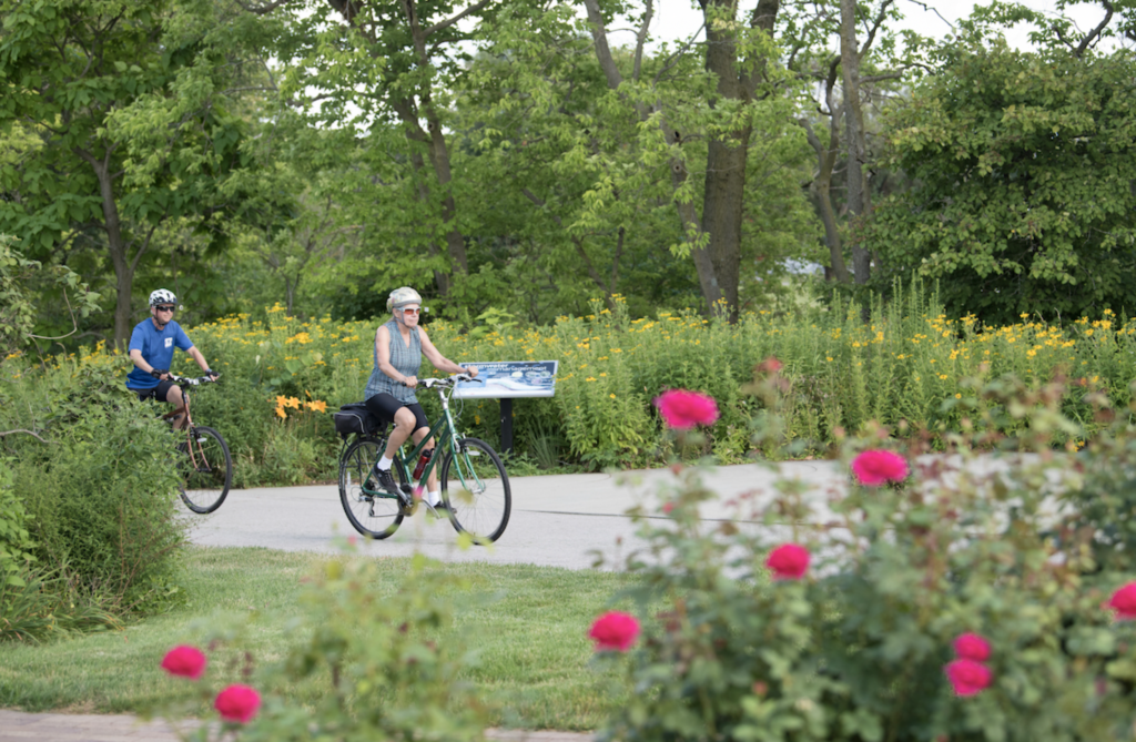
Like we often say about starting out bicycle travel, the best bike is the one you already own. But if you’re interested in getting more into extended bike tours, we recommend going to a bike fitter and making sure you’re on a bike that suits both your body and your riding style.
People ride all sorts of configurations on the Great American Rail-Trail, including lightweight carbon gravel bikes all the way to heavier-duty hardtail mountain bikes. Since there is little technical riding on this route, you won’t need anything super aggressive, and we suggest considering comfort over suspension. Think about whether you prefer a flat-bar bike or drop-bars, and whether it’s easier for you to ride flats or clipless. Whichever style suits your pre-existing touring preferences will be the best option.
“Railroads can only travel at a low elevation grade, which makes their old corridors ideal for the trail needs of a wide variety of people,” says Belle. “Most of the existing trails along the Great American are paved or use a crushed stone surface, which most bikes can handle.” Belle did say that there are some segments that are a little more rugged in which a cyclist might benefit from a touring bike or mountain-bike hybrid, so do your research before picking a section and make sure your bike can handle it.
How Should You Prepare to Ride the Great American Rail-Trail?
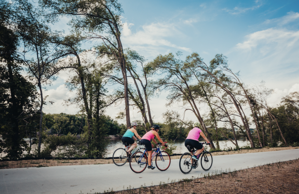
Consider your trip on the Great American Rail-Trail like any other bike travel journey with access to towns and resources. You’ll have to plan your trip itinerary, get your bike and gear ready, and start training.
Once you’ve decided on a section of route and taken your timeline into consideration (how many miles per day you anticipate riding), we always suggest you start physically preparing. Adventure Cycling contributor Mac McCoy has a great overview of four training stages here, emphasizing the importance of not just training large muscle groups, but getting your seat ready for long days in the saddle and making sure your bike is set up for your proportions. This means everything from your seat height to the distance between the seat and handlebars, and ensuring everything is working properly. It doesn’t hurt to bring the bike in for a full tune, or do your own multipoint inspection at home.
We recommend starting training at least 12 weeks before your planned departure date — whether you’re riding indoors or outdoors — and cycling at least three days per week. Aim for time spent in the saddle as opposed to distance, and work up to two hours or more for your longer rides, keeping in mind you’ll be taking plenty of breaks on the Great American Rail-Trail for sightseeing, snacks, and unplanned days off in particularly cool cities.
One of the great things about almost any section of the Great American Rail-Trail is that you’re never far from resources, and while much of the scenery feels peaceful and far from civilization, these pathways and trail segments are popular thru-ways between towns and along rivers. You don’t have the remoteness of other routes to consider when worrying about mechanicals, gear issues, or resupply issues.
While there are more resources than other cross-country routes, we still recommend knowing the region and familiarizing with the resources and highlights of your section. Knowing your own to resources, bike shops, and cell service can provide peace of mind.
***
**Editor’s note: The images in this article show different segments of the Great American Rail-Trail, but they do not depict the detour route through the Mountain West unless noted.


