Underground Railroad Section 5 GPX Data
In stock
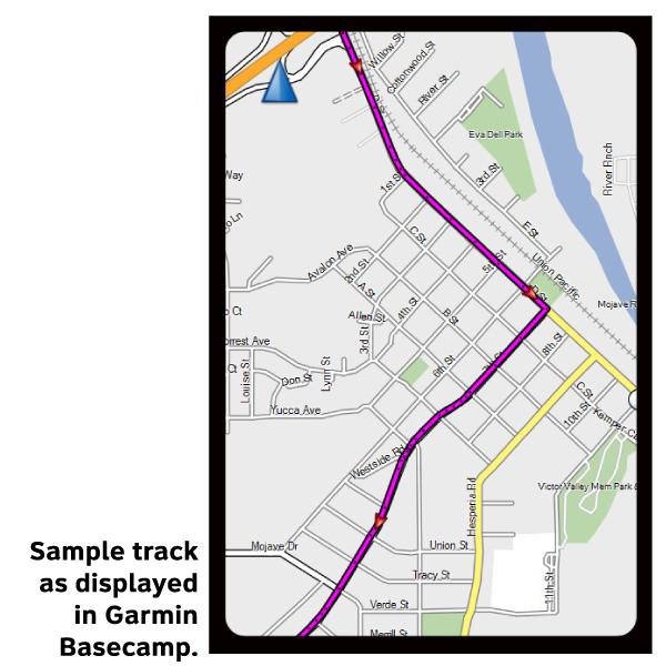
Please note, GPX Data is not refundable! Please examine the sample data on the device of your choice before purchasing GPX data packages. More information about GPX Data files can be found here.
After your GPX purchase, you can get GPX updates for free by re-downloading them from your My Adventure Cycling account.
Riding northeast from the city of Erie you will enjoy a long stretch of waterside along Lake Erie, the southern-most of the five Great Lakes. Then, after turning back inland south of Buffalo, you will ride through Orchard Park, home of the Pedaling History Bicycle Museum and one of the largest collections of antique and classic American bicycles to be found. There is a great deal of history to be explored in the Buffalo/Niagara area, ranging from American Revolution times to the Theodore Roosevelt Inaugural National Historic Site. This region became a natural funnel for freedom seekers, due to its remoteness, its proximity to Canada, and the anti-slavery sentiment that ran strong throughout New York state. After crossing into Canada, from Fort Erie to Niagara-on-the-Lake, the route mainly uses the Niagara River Recreation Trail and short portions of the Niagara Parkway along the scenic Niagara River. The route near Niagara Falls is extremely busy in summer, with many international tourists visiting the area. Numerous plaques memorializing people, structures, and events important to the Underground Railroad and other periods of black history are found on or close to the route as you proceed northwest through the Niagara area. Throughout Ontario the route traverses the Niagara Escarpment, so expect climbs and descents. This will provide a challenge for the fully loaded cyclist, especially when going off-route for services or exploration. Owen Sound, where your ride of discovery ends, was known as the final terminal of the Underground Railroad. It is where many former slaves found their hard-earned freedom, and many of them settled in the village originally called Sydenham. Every year since 1862 the community has held its Emancipation Picnic, which today celebrates two historic milestones of freedom: the British Emancipation Act of 1834, and the United States Emancipation Proclamation of 1863.
More information about this route is available here.
GPX Data Resources
- GPX Data Agreement
- Support Pages for Digital Route Data products
- Map Updates and Corrections (Addenda) - Always be sure to check for map updates and corrections before leaving on your trip.
- Temporary Road Closure Information
- Frequently Asked Questions
* These products are delivered in compressed zip files. Instructions on extracting the data are located here.
**NOTE: Occasionally, the GPX data you purchase will be newer than the paper map currently being sold. They may still be used together. See the Tracks and Service Points FAQs for more information.**





Reviews
There are no reviews yet.