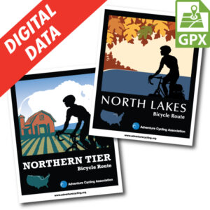
North Lakes Map Set GPX Data


Please note, GPX Data is not refundable! Please examine the sample data on the device of your choice before purchasing GPX data packages. More information about GPX Data files can be found here.
After your GPX purchase, you can get GPX updates for free by re-downloading them from your My Adventure Cycling account.
This route around northern Lake Michigan features a ferry ride option across the lake, miles of beautiful shoreline, and the great forests of Michigan's Upper Peninsula. After leaving the Upper Peninsula, the route travels southward through the forests and farms of lower Michigan. It traverses northeast Indiana, home to the Amish, before ending in Monroeville, a town along the Northern Tier Bicycle Route. If used in conjunction with the Northern Tier, the North Lakes Route will be 260 miles longer to cross the country. North Lakes offers an interesting alternative for Northern Tier riders wanting to experience the beauty of the Great Lakes.
More information about this route is available here.
GPX Data Resources
- GPX Data Agreement
- Support Pages for Digital Route Data products
- Map Updates and Corrections (Addenda) - Always be sure to check for map updates and corrections before leaving on your trip.
- Temporary Road Closure Information
- Frequently Asked Questions
* These products are delivered in compressed zip files. Instructions on extracting the data are located here.
**NOTE: Occasionally, the GPX data you purchase will be newer than the paper map currently being sold. They may still be used together. See the Tracks and Service Points FAQs for more information.**

Reviews
There are no reviews yet.