Great Rivers South Section 1 GPX Data


In stock
Please note, GPX Data is not refundable! Please examine the sample data on the device of your choice before purchasing GPX data packages. More information about GPX Data files can be found here.
After your GPX purchase, you can get GPX updates for free by re-downloading them from your My Adventure Cycling account.
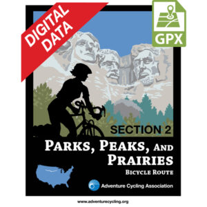
From Muscatine, Iowa, southward to Hannibal, Missouri, the route closely follows the flood plain of the Mississippi River. The riverside roads in Iowa and Illinois are rural farm-to-market roads, connecting small farming communities along the river and providing access to shipping terminals for local farm products. They are narrow roads with no shoulders and little traffic. The Mississippi bridge crossing into Missouri at Hannibal brings you into Mark Twain territory. You'll encounter some steep roller coaster hills before reaching the Missouri River. Riding on 4.5 miles of the Katy Trail between Marthasville and Dutzow, travel will be slower due to its crushed limestone surface, though more pleasant than the highly trafficked SR 47/94. South of Washington, you’ll be entering the Ozark Mountain range. Many of the state and county roads are narrow, winding, and steep, with short sight distances. After Cherokee Pass, the route leaves the Ozarks and moves onto the alluvial plains of southeastern Missouri to Cape Girardeau. The map also shows a 56-mile spur route into St. Louis which includes 30.5 mi. of the Katy Trail. After crossing the Missouri River you’ll switch to urban cycling as the route heads into the heart of the city. With care, riders who are accustomed to larger cities will have no problem with this spur to downtown St. Louis and the famous Gateway Arch. Click on enlargement for detail.
More information about this route is available here.
GPX Data Resources
- GPX Data Agreement
- Support Pages for Digital Route Data products
- Map Updates and Corrections (Addenda) - Always be sure to check for map updates and corrections before leaving on your trip.
- Temporary Road Closure Information
- Frequently Asked Questions
* These products are delivered in compressed zip files. Instructions on extracting the data are located here.
**NOTE: Occasionally, the GPX data you purchase will be newer than the paper map currently being sold. They may still be used together. See the Tracks and Service Points FAQs for more information.**
Reviews
There are no reviews yet.