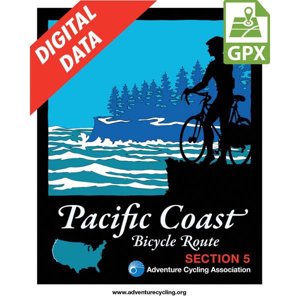
Pacific Coast Route Section 5 GPX Data
In stock
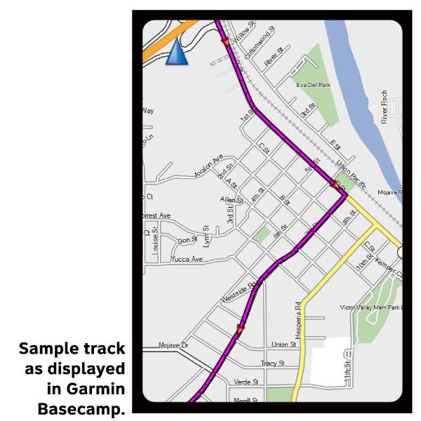
Please note, GPX Data is not refundable! Please examine the sample data on the device of your choice before purchasing GPX data packages. More information about GPX Data files can be found here.
After your GPX purchase, you can get GPX updates for free by re-downloading them from your My Adventure Cycling account.
Because the heavy traffic tends to be even heavier in summer, we recommend that you ride this route in the spring or autumn. May and September-October are the best months for riding. Note that during summer, strong winds prevail from north to south. In Santa Barbara and the towns surrounding it, prepare for urban riding conditions. US 101 between Santa Barbara and Ventura is closed to bicyclists, so you'll ride on city streets and county roads. The route stays close to sea level here. Traffic levels build near Ventura and Oxnard, then taper off until Los Angeles County. You'll ride on a bike path through Emma Wood State Beach north of Ventura, and join SR 1 southeast of Port Hueneme. South of the Ventura/Los Angeles County line you'll ride through Malibu on a four-and six lane freeway with wide shoulders. Traffic is heavier on weekends and during the summer. Through Los Angeles you'll be using beachside bicycle and pedestrian paths. You'll follow city streets through Palos Verdes Estates and Long Beach, then rejoin the busy Pacific Coast Highway, which has shoulders. You'll encounter busy local traffic on CR S21 in San Diego County; the road shoulders are continuous. South of La Jolla, you'll pedal along residential streets and bicycle/pedestrian paths through San Diego. A ferry takes you to Coronado and a path along Silver Strand Beach. The route ends at the Border Field State Park south of Imperial Beach, where the U.S.A and Mexico share the border at the Pacific Ocean.
More information about this route is available here.
GPX Data Resources
- GPX Data Agreement
- Support Pages for Digital Route Data products
- Map Updates and Corrections (Addenda) - Always be sure to check for map updates and corrections before leaving on your trip.
- Temporary Road Closure Information
- Frequently Asked Questions
* These products are delivered in compressed zip files. Instructions on extracting the data are located here.
**NOTE: Occasionally, the GPX data you purchase will be newer than the paper map currently being sold. They may still be used together. See the Tracks and Service Points FAQs for more information.**

Reviews
There are no reviews yet.